Back to Projects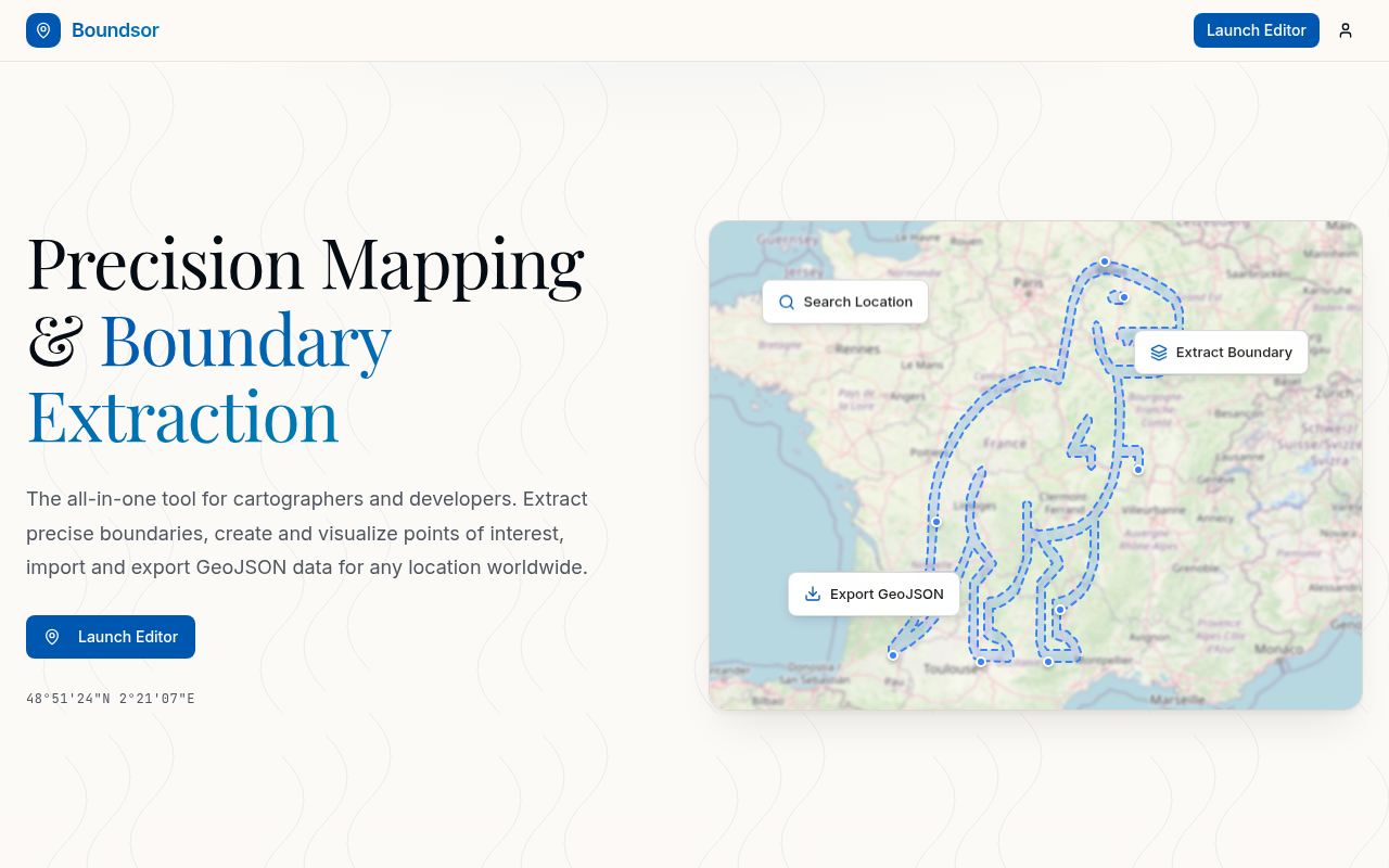
Utility2025
Boundsor
Precision mapping and boundary extraction tool.
About This Project
Precision mapping and boundary extraction tool. Extract administrative boundaries from OpenStreetMap, visualize POIs, and download clean GeoJSON data for any location worldwide. Features custom markers with multiple shapes, custom polygon drawing, and multiple tile layer styles.
Tech Stack
GitHub ActionsNext.jsSupabaseTailwindCSSTypeScript